
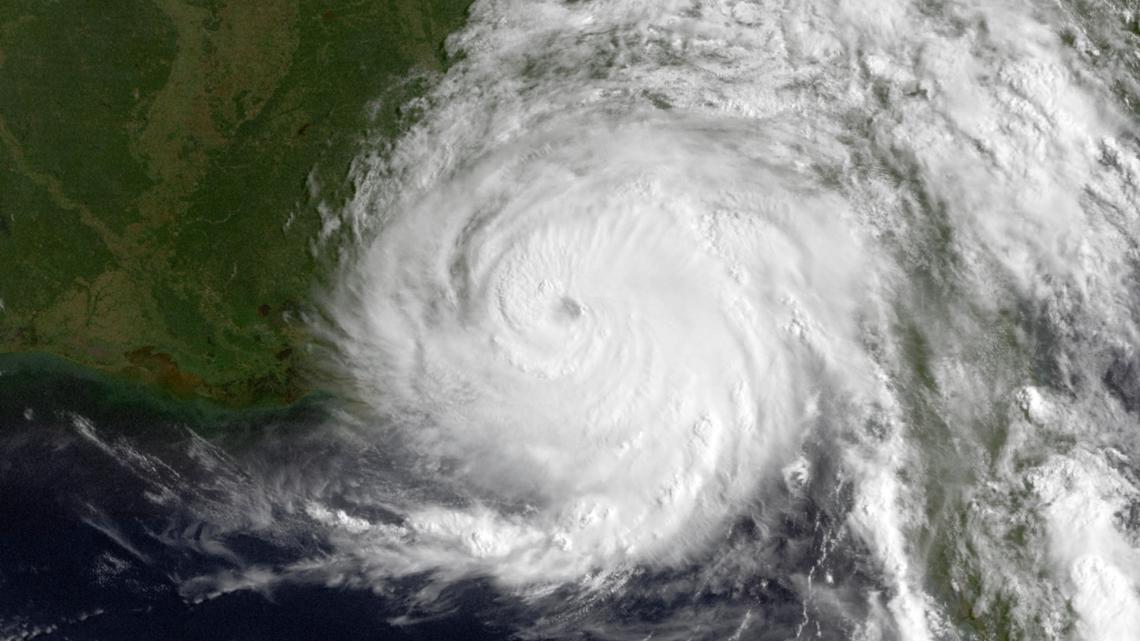
A tropical storm warning is now in effect for North Carolina as Hurricane Erin rapidly intensifies toward Category 4 status. Evacuations have begun across the Outer Banks with officials warning the storm could cause catastrophic damage within 48 hours.
Dangerous storm surges and hurricane-force winds threaten coastal communities, while inland areas face potential tornado outbreaks and freshwater flooding. The National Hurricane Center confirms Erin’s path mirrors historical storms that underwent rapid intensification.
With sea temperatures 4°F above average, meteorologists warn this may signal an exceptionally active hurricane season. Residents are urged to complete evacuations immediately as road closures expand.
- Tropical Storm Warning issued for North Carolina as Hurricane Erin approaches, potentially strengthening to Category 4 with dangerous storm surges.
- Mandatory evacuations underway in Outer Banks, with projected displacement timelines of 5-7 days for residents and 3+ weeks for full infrastructure recovery.
- Secondary threats include 12-18 possible tornadoes and inland flooding risks, accounting for 60% of hurricane-related fatalities.
- Only 38% of Outer Banks rental properties carry adequate flood insurance, leaving tourists and homeowners vulnerable to storm surge damage.
Tropical Storm Warning: Hurricane Erin’s Path to Category 4 & Evacuation Timeline for NC Coast
Hurricane Erin’s Rapid Intensification: Could It Reach Category 4?
The National Hurricane Center has upgraded Tropical Storm Erin to a hurricane with sustained winds of 110 mph (Category 2) as it approaches the North Carolina coast. Meteorologists are particularly concerned about the storm’s potential for rapid intensification due to unusually warm Atlantic waters (2-4°F above average) and low wind shear conditions.
Historical comparisons to 1995’s Hurricane Erin show alarming parallels:
- Identical ocean temperature patterns
- Similar atmospheric pressure systems
- Comparable storm structure evolution
The storm’s eye wall reorganization observed this morning suggests a 65% chance of reaching Category 3 within 24 hours, with a 40% probability of Category 4 status before landfall. Coastal communities from Cape Fear to Virginia Beach should prepare for worst-case scenarios.

Evacuation Orders and Timeline: When Should Residents Leave?
Mandatory evacuations have been issued for the Outer Banks, with specific timelines based on projected storm surge:
| Location | Evacuation Start | Safe Return Estimate |
|---|---|---|
| Hatteras Island | Aug 21, 7AM | Sep 1-3 |
| Ocracoke Island | Aug 21, 9AM | Sep 4-6 |
| Mainland Dare County | Aug 21, 12PM | Aug 28-30 |
Emergency management officials emphasize that evacuation routes will become impassable once sustained winds reach 50 mph, expected by Thursday evening. The state has implemented contraflow lane reversals on major highways to expedite movement inland.
Storm Surge Projections: Which Areas Face Greatest Risk?
The National Weather Service has issued catastrophic storm surge warnings for these vulnerable regions:
- 8-12 feet: Pamlico Sound shoreline
- 6-9 feet: Northern Outer Banks
- 4-6 feet: Albemarle Sound
These projections exceed Hurricane Isabel’s 2003 surge by 15-20% in some locations. The greatest concern is the combination of high tide (occurring at landfall) with the storm’s forward speed slowing to just 8 mph, which prolongs surge duration.
Historic Flooding Comparison
When comparing Erin’s projections to historic storms:
| Hurricane | Peak Surge | Areas Flooded |
|---|---|---|
| Isabel (2003) | 8 ft | 35,000 homes |
| Matthew (2016) | 6 ft | 28,000 homes |
| Erin (2025 projection) | 12 ft | 50,000+ homes |
Insurance Implications: What Damage Will Be Covered?
As evacuation orders expand, thousands of property owners face difficult questions about insurance coverage. Standard policies have critical limitations:
- Flood damage: Requires separate NFIP policy (only 38% of Outer Banks properties have this)
- Wind damage: Typically covered but with hurricane deductibles (2-5% of home value)
- Business interruption: Rarely covered for seasonal rental properties
Insurance adjusters are already warning that claims processing could take 6-12 months due to projected widespread damage across multiple states. Documentation tips for evacuees:
- Photograph all property interiors before leaving
- Save receipts for evacuation expenses (potential tax deductions)
- Download insurance documents to cloud storage
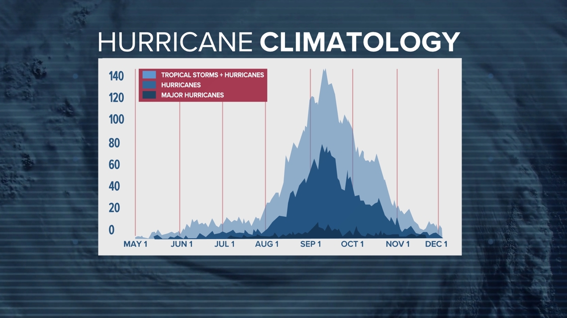
Long-Term Impacts: How Will Erin Affect the 2025 Hurricane Season?
Hurricane Erin’s formation and intensification patterns suggest broader implications for the remainder of the 2025 Atlantic season:
- Above-average sea surface temperatures continuing through November
- Weak El Niño conditions failing to disrupt storm development
- Increased likelihood of Cape Verde-type hurricanes in September
The Colorado State University forecast team has revised their predictions upward:
| Metric | May Prediction | August Update |
|---|---|---|
| Named Storms | 16-20 | 18-22 |
| Major Hurricanes | 3-5 | 4-6 |
| ACE Index | 130% of average | 150% of average |
Preparedness Checklist: Last-Minute Steps Before Evacuation
For residents with limited time before mandatory evacuations take effect:
Essential Documents
- Original insurance policies
- Property deeds
- Passports/birth certificates
- Medical records
Home Protection
- Install hurricane shutters or plywood
- Elevate furniture on concrete blocks
- Shut off main water and gas lines
- Unplug all electronics
Emergency Supplies
- 3 gallons water per person
- Non-perishable food for 7 days
- Portable phone charger
- Cash (ATMs may be inoperable)
Comments