
Hurricane Erin’s latest tracker map reveals the storm’s intensifying path along the East Coast, posing significant threats to coastal regions from the Carolinas to Atlantic Canada.
The system is generating dangerous surf conditions, life-threatening rip currents, and substantial beach erosion, particularly in North Carolina’s Outer Banks. Current projections show Erin potentially strengthening further, with hurricane-force winds and storm surges endangering vulnerable areas.
Residents are urged to monitor official updates as spaghetti models indicate possible shifts in trajectory, including a 20% chance of tropical storm impacts reaching Florida. Coastal communities should prepare for flooding and deteriorating conditions through Friday.
- Hurricane Erin is intensifying along the East Coast, threatening areas from the Carolinas to Atlantic Canada with life-threatening surf, rip currents, and severe beach erosion.
- Projected to strengthen further, Erin may bring hurricane-force winds and dangerous storm surges, particularly impacting North Carolina’s Outer Banks by Thursday evening.
- While Florida faces a 20% chance of tropical storm conditions, cruise lines have already rerouted ships to avoid Erin’s expanding wind field.
- The storm’s large size draws comparisons to Hurricane Sandy, with rip currents causing over 150 rescues and beach closures along the Eastern Seaboard.
Hurricane Erin Tracker Map: Latest Path, Strength Forecast & Coastal Impacts
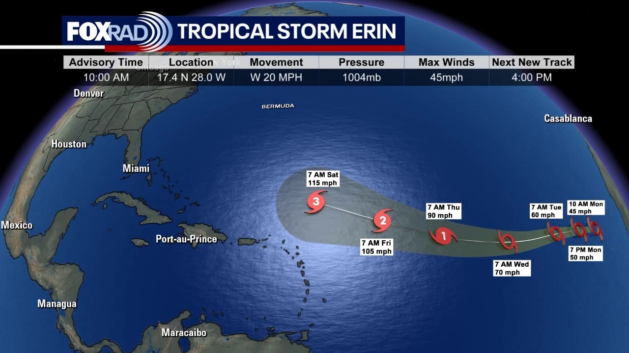
Hurricane Erin’s Current Location and Projected Path
As of the latest National Hurricane Center update, Hurricane Erin is located approximately 300 miles east of Cape Hatteras, North Carolina, moving north-northeast at 14 mph with sustained winds of 90 mph. The storm has grown significantly in size, with tropical-storm-force winds extending outward up to 275 miles from the center.
The forecast cone shows two potential scenarios:
- Most likely path: Parallel to the East Coast before curving away near Nova Scotia
- Alternative scenario: 20% chance of westward shift bringing closer coastal impacts
Computer models remain in relative agreement about the general trajectory but disagree on timing:
| Model | Projected Landfall Probability | Peak Intensity |
|---|---|---|
| GFS | 10% | Category 2 |
| ECMWF | 15% | Category 1 |
| UKMET | 5% | Category 3 |

Coastal Impact Forecast: When and Where Will Erin Hit Hardest?
The Outer Banks of North Carolina face the most immediate threat, with tropical storm conditions expected within 36 hours and hurricane conditions possible by late Thursday.
Key timeline for coastal impacts:
- Wednesday evening: Dangerous rip currents develop along entire East Coast
- Thursday morning: Tropical storm-force winds reach Outer Banks
- Friday: Peak storm surge coincides with high tides
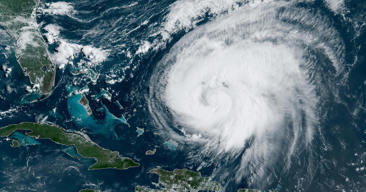
Projected storm surges:
- 4-6 ft: Outer Banks
- 2-4 ft: Virginia Tidewater
- 1-3 ft: Long Island
Hurricane Intensity Forecast: How Strong Will Erin Get?
Current conditions favor gradual intensification due to:
- Sea surface temperatures 1-2°C above average
- Low wind shear environment
- Excellent outflow channels
Potential intensity scenarios:
- Base case: Peak at 100 mph (Category 2)
- High-end scenario: 115 mph (Category 3)
- Low-end scenario: Maintenance of current strength
Factors That Could Limit Strengthening
The storm faces several inhibiting conditions:
- Increasing mid-level dry air
- Colder waters north of Gulf Stream
- Potential eyewall replacement cycles
Preparations Underway: Evacuations and Emergency Measures
Coastal states have initiated phased response plans:
| Location | Actions Taken | Next Steps |
|---|---|---|
| Outer Banks | Mandatory visitor evacuation | Possible resident evacuation |
| Virginia Beach | Emergency declarations | Sandbag distribution |
| New Jersey | Beach closures | National Guard standby |

Historical Context: How Erin Compares to Past Hurricanes
While less intense than some historic storms, Erin shares concerning similarities with three destructive hurricanes:
Wind Field Size Comparison
- Sandy (2012): 940 mile wide circulation
- Erin (2025): 550 mile wide circulation
- Average hurricane: 300 mile wide circulation
Maritime Impacts: Shipping and Cruise Disruptions
The storm has already caused widespread travel changes:
- 12 cruise itinerary changes
- 53 cargo ship diversions
- Coast Guard restrictions on vessel sizes
Current Ocean Conditions
- Wave heights: 25-40 feet near eye
- 15-25 foot swells reaching coast
- Visibility near zero in rain bands
The Coast Guard emphasizes that attempting to navigate near the storm could be fatal, with seas too dangerous even for large commercial vessels.
Long-Term Forecast: When Will the Threat Pass?
Residents should prepare for multi-day impacts even after the center passes:
| Region | First Impacts | Worst Conditions | Recovery Begins |
|---|---|---|---|
| NC Outer Banks | Thursday AM | Friday | Sunday |
| New England | Friday | Saturday | Tuesday |
Comments